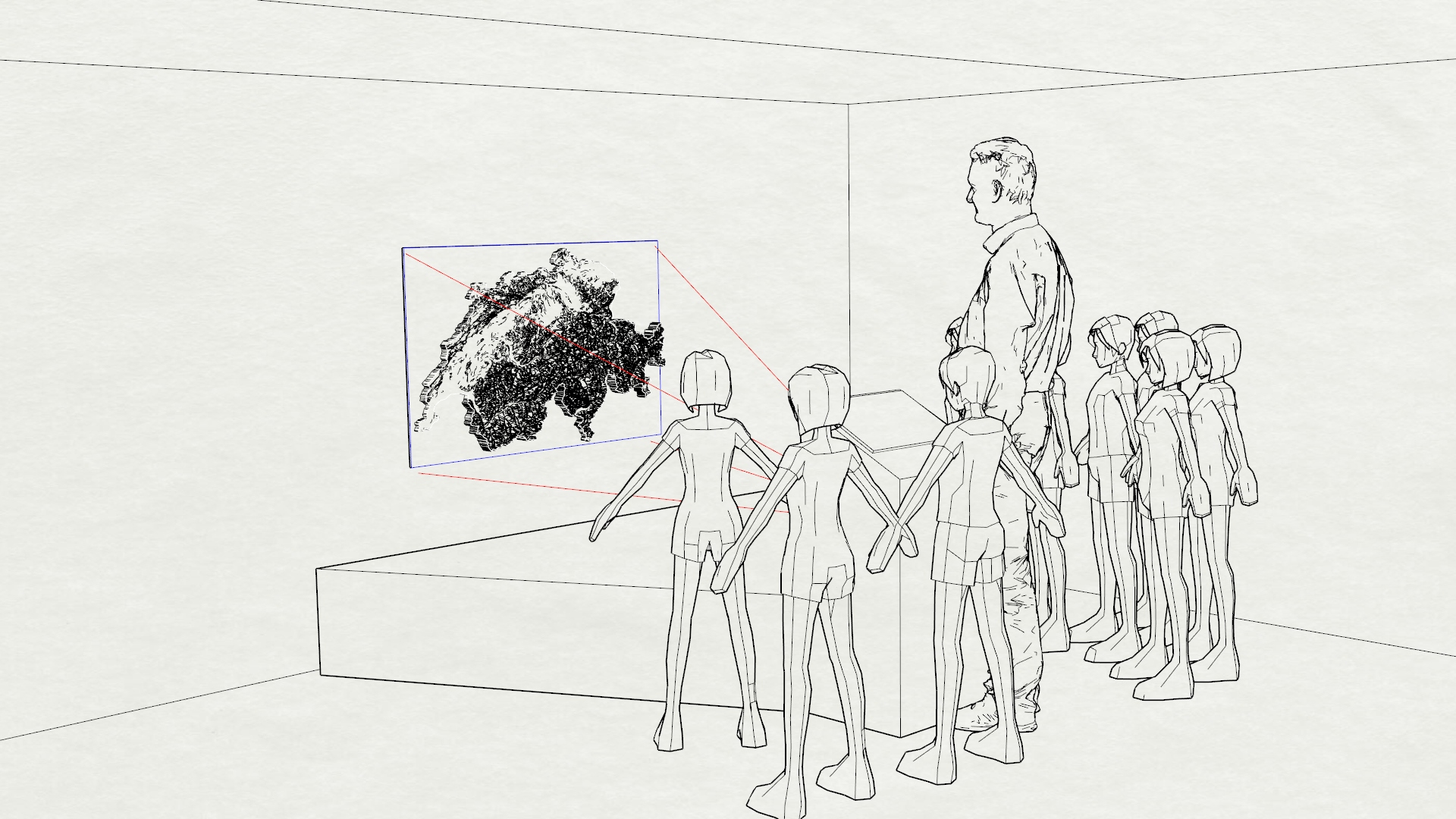
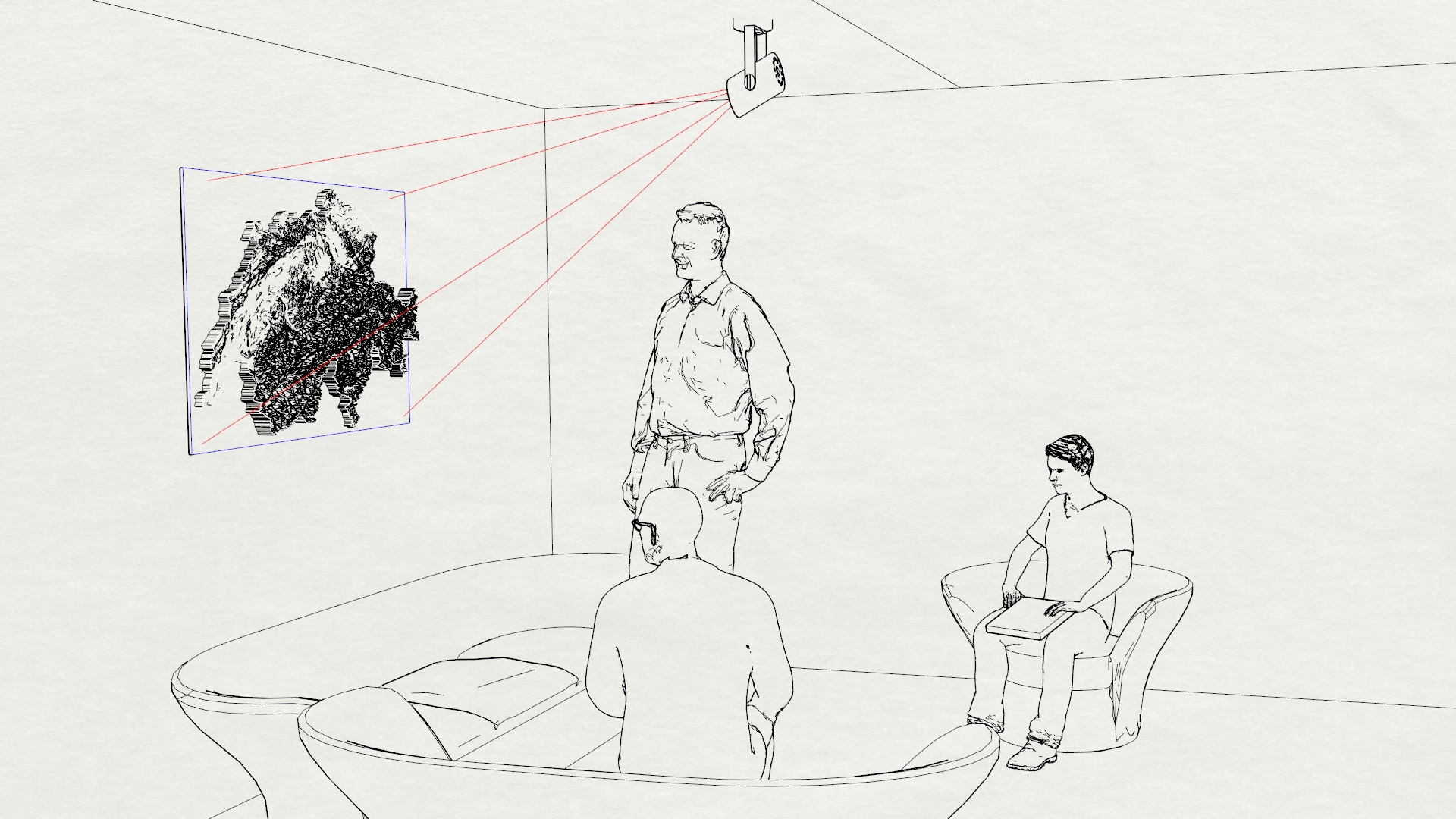
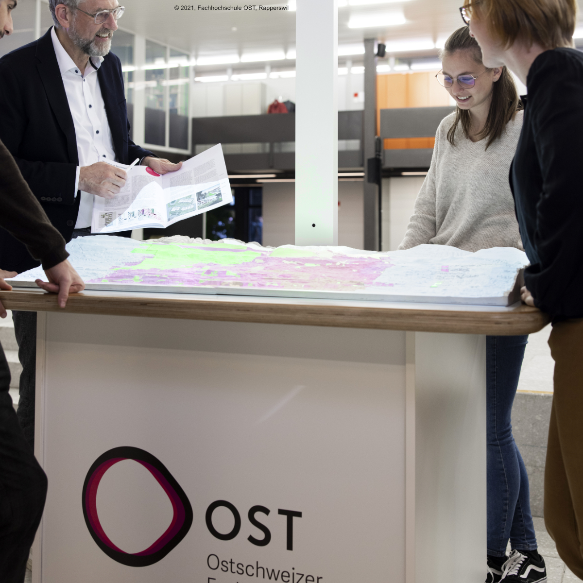
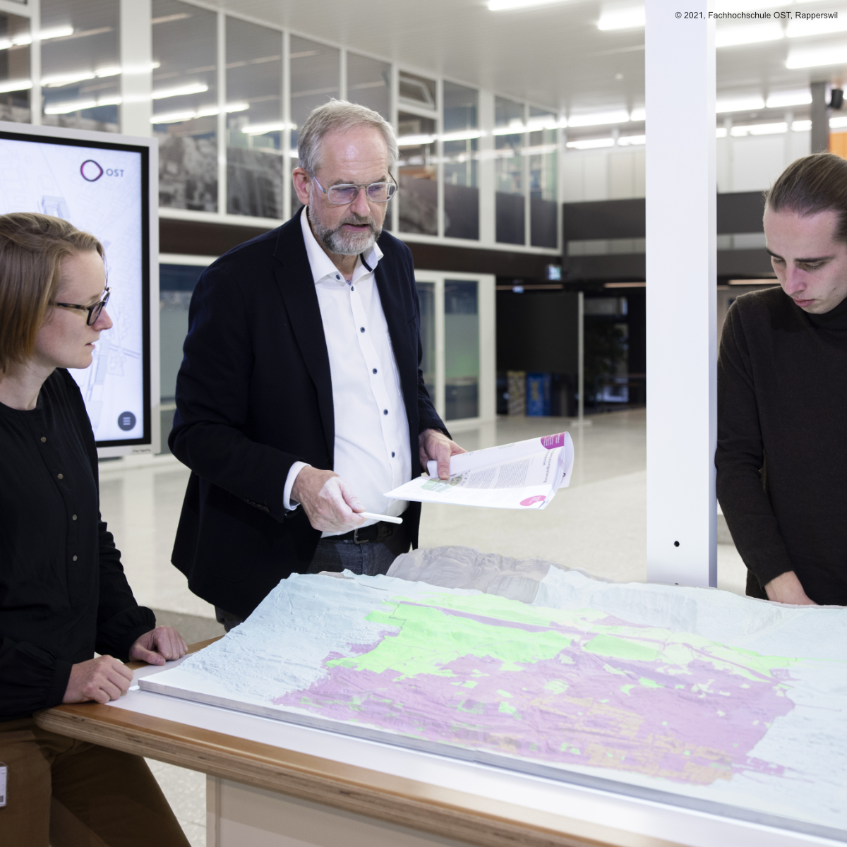
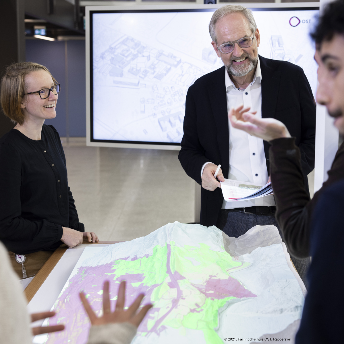
Mit Bürgern und Studenten besser kommunizieren
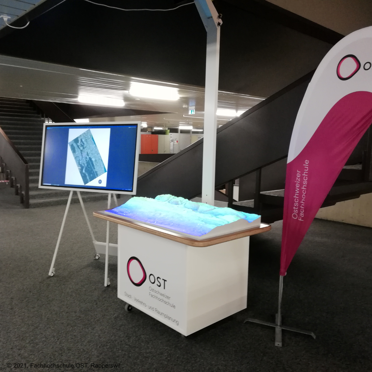
Der Kommunikationstisch [ShapeVision University] kann mit einer elektronischen Tafel
ergänzt werden, um interaktiv Informationsebenen zu wechseln. Während
einer Diskussion können darüber Markierungen ins Modell gezeichnet
und digital gespeichert werden.
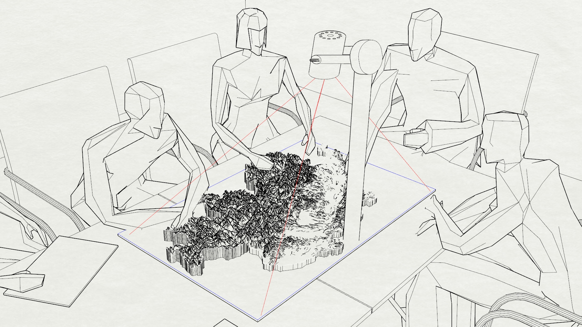
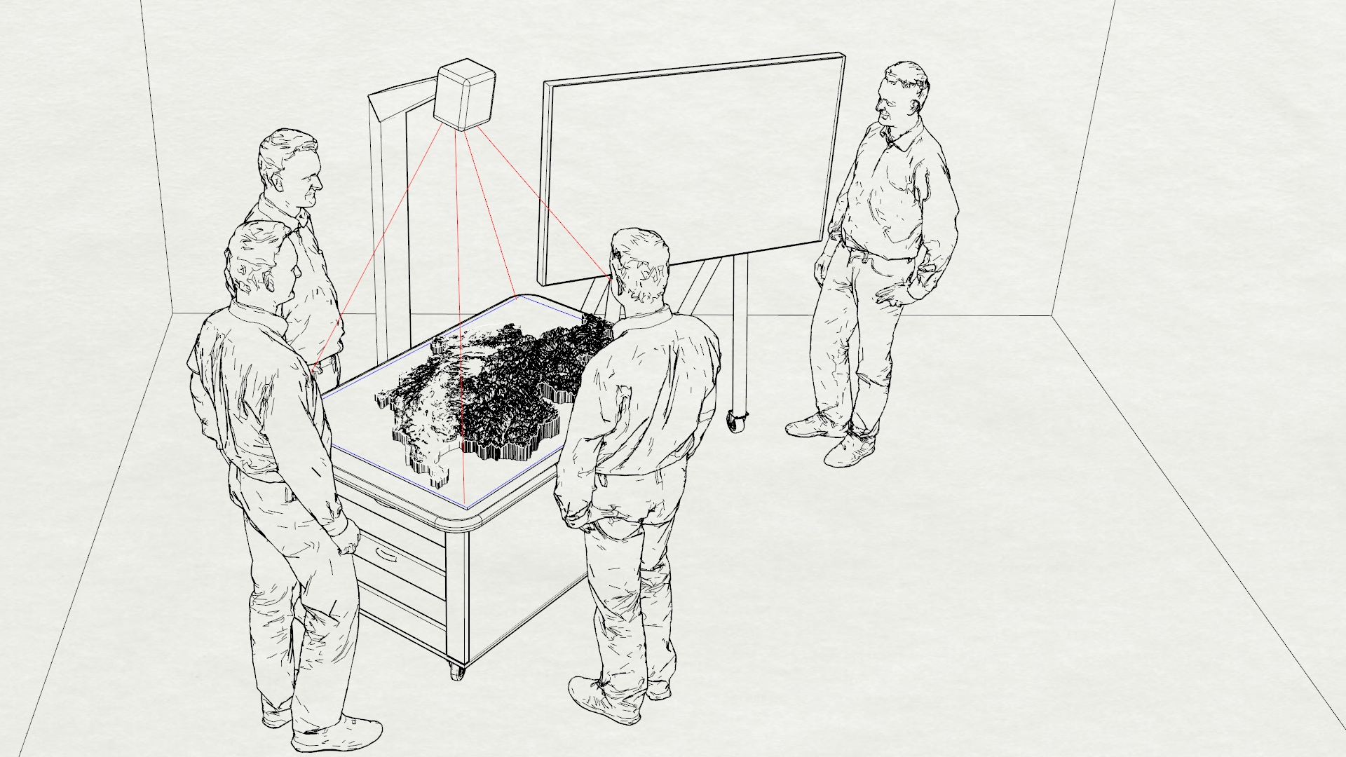
Quartiersplanung mit Einblick:
Diskutieren Sie Stadtentwicklung, Verkehrsfluß, Infrastrukturmaßnahmen, Verdichtung und Wohnungsbau direkt am 3D-Modell. Jeder Zuhörer wird Ihnen dabei problemlos folgen, was bei virtuellen Simulationen oft schwierig ist. Der Vortrag kann durch mehrere Modelle ggf. mit passgenauem Maßstab ergänzt werden. Der mobile Einsatz als audiovisueller Infopoint ist ein weiterer Mehrwert, z.B. zu Veranstaltungen und Messen.
 Kontakt
GeoDesigner Druckverfahren Gartenbahn
Kontakt
GeoDesigner Druckverfahren Gartenbahn